Local Activities
McMinnville & NW Oregon Activities
Massage Therapy, while beneficial to your overall health, is not the only way to keep your body in optimal health and wellness. I will always encourage my clients to stay active.
Keeping active is part of a healthy lifestyle.
Some of my favorite local activities are walking, hiking, cycling, and kayaking. The Pacific Northwest offers many opportunities for total body wellness. I’ve listed a few of my favorites below.
For Yoga and Personal trainers, see the Local Healthcare Options page.
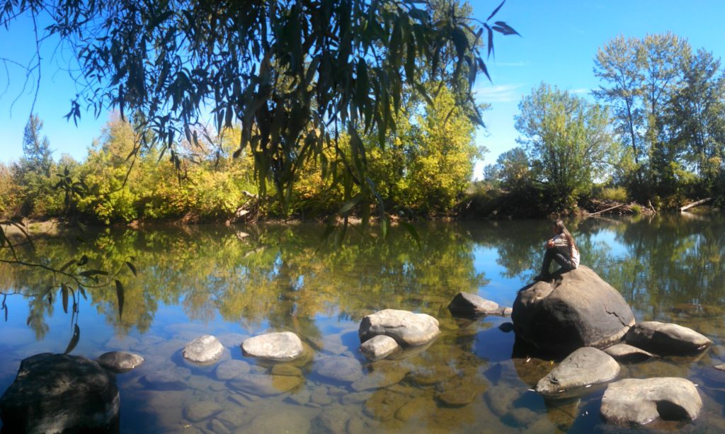
Miller Woods | Hiking
No dogs. Miller Woods is west of McMinnville on Orchard View Rd off Baker Creek Rd. A small donation is requested to help maintain the trails. Directions.
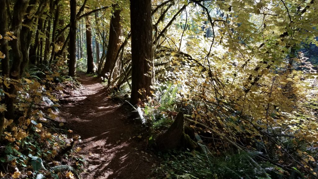
Trappist Abbey | Hiking
The link takes you to information on the trails and guidelines for use of the trails. For more information on the Abbey follow the links in their web page header. Click here for a short clip of “Grant’s Getaways” about the Abbey, its trails and Oregon wine. Trappist Abbey is located between Lafayette and Carlton. Directions.
Minto Brown Park | Hiking, Cycling, Running
Dogs are allowed on leash on the trails. There is a large 30 acre off leash dog area within the park. Minto-Brown park is located on the Willamette River just west of Salem proper. To drive directly to the park take Commercial St south from the Salem downtown area. Stay in the right lane and turn right when the lane ends. This is the road to Independence. At the next traffic light there will be a sign for Minto Island. Turn Right crossing the tracks. There are 3 parking lots, the first will be on your right, the second on your left (dog park) and the largest parking lot is at the end of the road. An alternate entrance to the park is to walk across the new pedestrian bridge from Water Front park. For a long bike ride I like to park near the old RR trestle in Wallace Marine Park, ride across the trestle, through Water Front park, across the pedestrian bridge into Minto-Brown and then add the loop through Eola Bend park on the far side of Minto-Brown. Directions.
Cascade Head Nature Conservancy Trail | Hiking
No Dogs on the conservancy trail due to habitat preservation. Stay on the trail, this is an endangered species area. From McMinnville, take Hwy 18 to Hwy 101. There are three trail heads to this area. Go north one mile on 101 and turn Left at 3 Rocks Road for 2 of the trail heads. Immediately on your left after turning onto 3 rocks road is the first trail head. The second trail head is at the end of the road. Park at the Knight Park (AKA Savage Park by some) boat launch parking lot, walk a short distance back to Savage road. There is a trail next to Savage road to help separate vehicles from hikers. Walk up Savage road to the Nature Conservancy trail head. The trail begins in the forest then comes out onto a hillside meadow. Please stay on the trail. The rest of the trail switchbacks up the open hillside to the top. Note that this could be a difficult hike for anyone not in shape. The third trail head is off Hwy 101 at the top of the pass over the headland. This is only open seasonally. I have personally done the hike from the Knight park parking lot to the summit many times. It is always a beautiful view from the top. Directions.
Listings by types of activities and facilities.
Oregon State Parks, Scenic & Regional Trails
This page lists about a dozen trails around the state of Oregon and also includes Information on Cape Lookout, Saddle Mountain, Banks-Vernonia State Trail which will have direct links below.
Cape Lookout | Hiking
On the coast between Pacific City and Tillamook. It is a large rock headland that juts out into the ocean a few miles. The south face is shear rock wall down to the ocean below. The trail is mostly in old growth forest. There is a bench at the end of the trail to sit and watch the ocean. An ‘Easter Egg’ to find is a plaque mounted about head high on a rock wall next to the trail. It commemorates the crew of a plane that crashed on the headland. I usually miss it because I am looking where I am walking. Out and back is about 5 miles. From the parking lot at the top of the headland there is also a trail down to the beach to the south and a trail down to the beach and State Park campground / day use area to the north. See the park website for camping reservation information.
Saddle Mountain State Park | Hiking
From McMinnville take Hwy 47 to Hwy 26, West bound on 26 go over the pass. At the bottom of the pass just where it levels out you will see the sign on the Right for Saddle Mountain State Park. The road in is a winding 7+ mile drive. Go on a clear day and you can look down on the cities of Astoria, Seaside and Tillamook. I find it interesting to watch the big ships coming into the Columbia river from that elevation. Dress in layers.
Banks-Vernonia State Trail | Hiking, Cycling, Horseback Riding
From McMinnville take Hwy 47 to the town of Banks which is a mile or so from Hwy 26. Just as you are leaving the town of Banks take the street to the Right then an immediate Left and the first parking lot for the trail will be on your Left. There are several parking lot along the way so plenty of opportunities to explore the entire trail over time without doing the whole thing in one shot. It is 21 miles between Banks and Vernonia. If you add the mileage around the lake in Vernonia a round trip is 45 miles. To add the lake trail you head past the first part of town, go over a plank bridge and a few hundred feet later the lake trail will veer off to the right between some posts along the main trail. If you are hungry when you get to Vernonia try the Blue House Cafe’s Greek/Mediterranean food on the main highway thru town. You can’t miss the building. It is BLUE. It also has an indoor bike rack and indoor/outdoor seating. Closed Mondays. Open seasonally.
Willamette Mission State Park | Historical area – Hiking, Cycling, Horseback Riding
From McMinnville, cross the Willamette at the Wheatland Ferry, the park will be on the Right.
Champoeg State Park | Historical area – Hiking, Cycling
There is a dock on the river, an interpretive center and a nice paved trail along the river between the park and Butteville. The dock can also be accessed by boating from Roger’s landing a short distance down river.
Silver Falls State Park (and another link here) | Hiking, Scenic Waterfalls
East of Salem off Hwy 22. Follow the signs.
Gales Creek | Hiking, Trail Cycling, Camping
Canoe/Kayak Launch Areas.
Dayton Landing, Dayton, OR
Yamhill River. Paddle 5 miles down to the Willamette river or upstream to Lafayette Locks park.
Cook Park, Tigard, OR
Tualatin River. Slow water similar to the Yamhill river.
Roger’s Landing, Newberg, OR
Willamette River. Be aware that this is also a popular area for water skiers and other water traffic that can cause wakes.
Wallace Marine Park, Salem, OR
Willamette River. Multi use park in West Salem on the Willamette River. A good place to launch if you will have transportation available downstream. Be aware going downstream of the park that there are areas of fast water that make it difficult to paddle back to the park if you are just going out and back. We usually paddle upstream and relax on the way back to the boat launch. Also, be aware that this is also a popular area for water skiers and other water traffic that can cause wakes. A few years ago we paddled from Wallace Marine park to Roger’s landing beginning at 9am and finished at 8pm – a nice day-long paddle.
Knight Park, Otis, OR
Salmon River. A nice paddle into an estuary. Be aware that this is tide water. It helps to plan your paddle to go with the flow of the tides.
More to come. Feel free to contact me through the contact page if you would like me to add any places you like to hike, bike or paddle in NW Oregon not too far from Yamhill County… and thanks in advance.